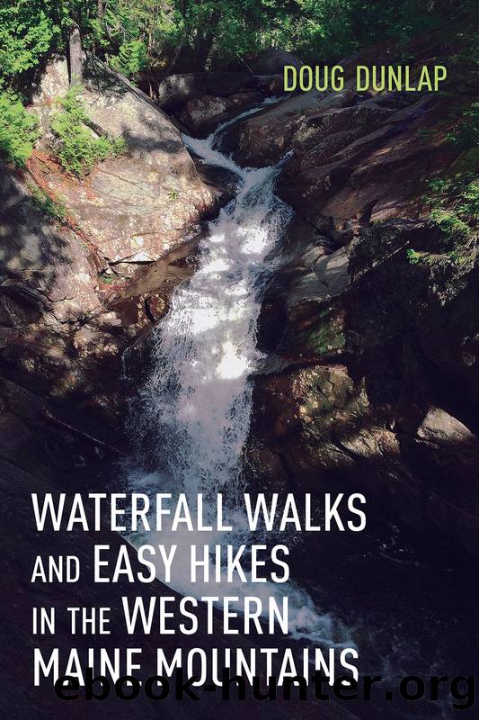
Waterfall Walks and Easy Hikes in the Western Maine Mountains by Doug Dunlap

Author:Doug Dunlap
Language: eng
Format: epub
Publisher: Down East Books
Published: 2020-11-24T00:00:00+00:00
the largestâmight I say âgrandestââin the state. They are well worth seeingâwhether by our itinerary todayâa long road in, followed by a short hike; or by hiking or skiing the entire way from an MHT distant trailhead.
Hikers who wish to explore the area upstream of the falls may walk a short 0.1 mile out and 0.1 mile return route on the Maine Huts Trail heading west to the Chappell Bridge, about 0.2 mile upstream. Walk back up Pine Loop to this trail junction, marked by prominent trail signs. West is the direction towards Long Falls Dam Road and Flagstaff Hut.
Walk west towards the footbridge, a sturdy iron structure that offers good views upstream and down. As mentioned above, look for a series of rock islands upstream. These are of human design, part of the former Dead River Dam. This dam held back logs that had been harvested, and were kept here to be released downstream at optimum water levels. Eventually these logs would be processed at mills in Madison, Skowhegan, Waterville, and other points south along the Kennebec River. The last log drive on the Kennebec was in 1974. Trucking replaced log drives, as a long chapter in the history of the Maine woods drew to an end, with its stories of log-drivers with pick-poles, wearing hope-nail boots doing the harrowing work of freeing up log jams. Men walked out onto the logs they were about to dislodge, anticipating the moment when their pick-pole work would break-up the jam, and there was just enough time to run across the now-moving logs for shore before the mass would accelerate to river-speed.
Recall that chute on the right side of Grand Falls? Logs would become hung up on the craggy rock formation on this side, creating jams that few loggers wanted to approach. The solution was to blast this chute, widening an existing gap into one broad enough to minimize the chances of log jam.
Downstream from the Chappell Bridge the river makes a left turn. A wooded promontory at the turn blocks the view of Grand Falls, and the waters here appear curiously calmâbut there is no mistaking the great roar emanating from the cataract beyond. Attend closely to the farthest point downstream, as this is a deer crossing area. I have seen deer swim the river both summer and winter. It is quite the sight.
Download
This site does not store any files on its server. We only index and link to content provided by other sites. Please contact the content providers to delete copyright contents if any and email us, we'll remove relevant links or contents immediately.
Periodization Training for Sports by Tudor Bompa(8236)
Bodyweight Strength Training by Jay Cardiello(7893)
Born to Run: by Christopher McDougall(7104)
Inner Engineering: A Yogi's Guide to Joy by Sadhguru(6775)
Asking the Right Questions: A Guide to Critical Thinking by M. Neil Browne & Stuart M. Keeley(5734)
The Fat Loss Plan by Joe Wicks(4889)
Bodyweight Strength Training Anatomy by Bret Contreras(4658)
Yoga Anatomy by Kaminoff Leslie(4342)
Dynamic Alignment Through Imagery by Eric Franklin(4199)
Science and Development of Muscle Hypertrophy by Brad Schoenfeld(4115)
Exercise Technique Manual for Resistance Training by National Strength & Conditioning Association(4048)
ACSM's Complete Guide to Fitness & Health by ACSM(4040)
The Four-Pack Revolution by Chael Sonnen & Ryan Parsons(3955)
Bodyweight Strength Training: 12 Weeks to Build Muscle and Burn Fat by Jay Cardiello(3950)
The Ultimate Bodybuilding Cookbook by Kendall Lou Schmidt(3917)
Yoga Anatomy by Leslie Kaminoff & Amy Matthews(3889)
American Kingpin by Nick Bilton(3848)
Nutrition for Sport, Exercise, and Health by Spano Marie & Kruskall Laura & Thomas D. Travis(3758)
Yoga Therapy by Mark Stephens(3732)
